
Last updated: August 28, 2026. Casualty and road-status figures are still moving day to day, so treat the numbers below as a snapshot rather than a final count.

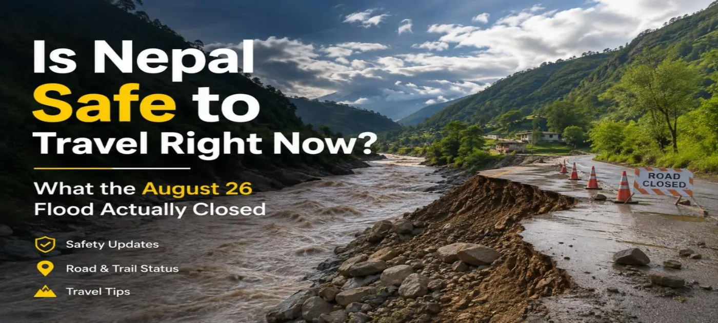
Is Nepal Safe to Travel Right Now? What the August 26 Flood Actually Closed
On the morning of August 26, 2026, a large section of glacier and rock broke off near Langtang Lirung on the Nepal-China border, roughly 7,000 feet above the valley floor. It came down into the Lhende Khola, which becomes the Bhote Koshi and then the Trishuli as it runs south through Rasuwa district. Scientists tracking the event estimate the flood wave moved at around 120 mph through the first 22 kilometers. Nepal Police have confirmed 389 deaths as of this writing, with 910 people still missing, and China has reported 3 dead and 558 missing on its side of the border. Rescue teams are still reaching villages that were cut off for two days, so those numbers will keep changing.
This wasn't a rainfall flood. Nepal's own hydrology department said there hadn't been unusual rain in Rasuwa beforehand. It was a glacier collapse and landslide event, and that distinction matters, because it tells you where the damage actually is: one river corridor, not the whole country.
If you have a trip booked for October or November, the honest answer to "is Nepal safe" depends entirely on which valley you're heading into. The river system is what you need to check, not the country as a whole.
What's completely unaffected
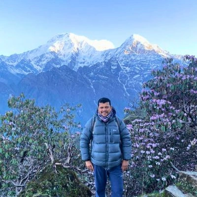
Everest Base Camp, the Khumbu region, the Manaslu Circuit, and the Annapurna routes sit in three separate drainage systems. Khumbu drains into the Dudh Koshi. Manaslu drains into the Budhi Gandaki. Annapurna drains into the Marsyangdi and the Kali Gandaki. None of those rivers connects to the Bhote Koshi or the Trishuli, so none of them carried any of the flood's water, mud, or debris. Lukla flights, the Everest permit desks, teahouses in Namche and Dingboche, and the Pokhara side of the Annapurna operation are all running exactly as they were on August 25.
What's actually closed, and why it's a road problem more than a trail problem
Langtang Valley, Gosaikunda, and the Tamang Heritage Trail all start from Syabrubesi, and Syabrubesi sits right on the Bhote Koshi where the flood hit hardest. The Pasang Lhamu Highway, the only road in, has sections washed away between Betrawati and Rasuwagadhi, and at least two bridges are gone. Until that road is repaired or a workaround is opened, there's no practical way to reach Syabrubesi by vehicle. That's why the whole Langtang region counts as closed right now, even though most of the actual trail above the valley floor was never touched by water.
The Rasuwagadhi-Kerung crossing into Tibet, the main overland route for Kailash trips and China trade, is also shut. The customs post on the Nepal side was damaged in the flood.
Separately, the Prithvi Highway, the standard Kathmandu-Pokhara drive, runs alongside the Trishuli for a long stretch downstream of where the flood came through. Vehicle movement has been suspended on parts of it because of mud and debris on the road surface, not because the highway itself collapsed. This is a more familiar kind of monsoon disruption and it tends to clear faster than a washed-out mountain road. Anyone driving to Pokhara this week should check that morning's status before leaving Kathmandu, or just fly instead. It's a short flight and not worth risking hours stuck at a checkpoint.
|
Region |
Status |
Why |
|
Everest / Khumbu |
Open, unaffected |
Dudh Koshi drainage, no link to the flood rivers |
|
Annapurna (Circuit, Base Camp, Poon Hill) |
Open, unaffected |
Marsyangdi / Kali Gandaki drainage |
|
Manaslu Circuit |
Open, unaffected |
Budhi Gandaki drainage |
|
Langtang Valley, Gosaikunda, Tamang Heritage |
Closed |
Only access road, through Syabrubesi, is flood-damaged |
|
Kathmandu-Pokhara road (Prithvi Highway) |
Intermittent |
Sections near the Trishuli blocked by debris, not destroyed |
|
Rasuwagadhi-Kerung border to Tibet |
Closed |
Customs post and approach road damaged |
|
Kathmandu Valley, Tribhuvan Airport |
Normal |
Separate watershed, no connection to the flood |
What about Kathmandu itself
The valley and the international airport are operating normally. This gets asked a lot because international headlines tend to just say "Nepal flood" without naming the district, and Kathmandu sits well over 60 kilometers from the worst-hit part of Rasuwa in a completely different watershed. If your itinerary is EBC, Annapurna, or Manaslu, your arrival and departure through Kathmandu isn't affected by any of this.
What we're telling clients this week
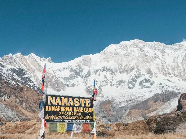
For anyone with a Langtang, Gosaikunda, or Kailash booking in the next month, we're moving them sideways rather than cancelling outright. Annapurna Base Camp is the closest match in trip length and altitude gain if Langtang was the original plan, and it's reached from Pokhara without going anywhere near the Trishuli corridor.
For Everest and Annapurna bookings, nothing changes. The one thing worth building in is an extra buffer day if your itinerary uses the Kathmandu-Pokhara road leg by car rather than flight, since that's the one piece of infrastructure serving unaffected regions that's currently unreliable.
Check road status the same day you travel, not three days ahead. Conditions on the Prithvi Highway specifically have been changing within a single day depending on rain and cleanup progress. If you're already trekking in an unaffected region, stay on plan. If your booking touches Rasuwa, Langtang, or the Tibet border crossing, talk directly to your agency rather than deciding off a headline.
Need Help? Call Us
Need Help? Call Us+9779851013072